Typhoon Storm Watch 2013
Tracking Typhoons, and other tropical systems in the Western north Pacific with accurate, unique information
Current Tropical Systems and Advisories (main page)

 Typhoon Haiyan is steadily weakening as it moves over Central Philippines as a category 5 super typhoon.
Haiyan has strengthened into 2013's worldwide strongest tropical cyclone...NASA's Aqua satellite has also taken a high resolution true color visible satellite image which can be viewed by clicking here.
Super Typhoon Haiyan has become one of the strongest typhoons in a decade, and also one of the strongest typhoons to make landfall as a category 5 over Eastern Visayas, Philippines which is seeing winds of 305km/h to gusting 370km/h.
Super Typhoon Haiyan 31w Live info:
Maximum sustained winds: 295km/h gusting to 360 km/h
Central Pressure : 895hpa
Movement speed : 40km/h west, northwest
Strength : Category 5 Super Typhoon
Location of center in coordinates : 11.1°N 123.5°E
Super Typhoon Haiyan 5 day JTWC forecast track
Typhoon Haiyan 31w Live visible / infrared satellite loop

Typhoon Haiyan 31w Live RGB enhanced visible / infrared satellite loop

Typhoon Haiyan 31w Live HQ infrared satellite loop

Typhoon Haiyan Live 'Rainbow' enhanced IR satellite loop
Typhoon Haiyan Live microwave satellite loop
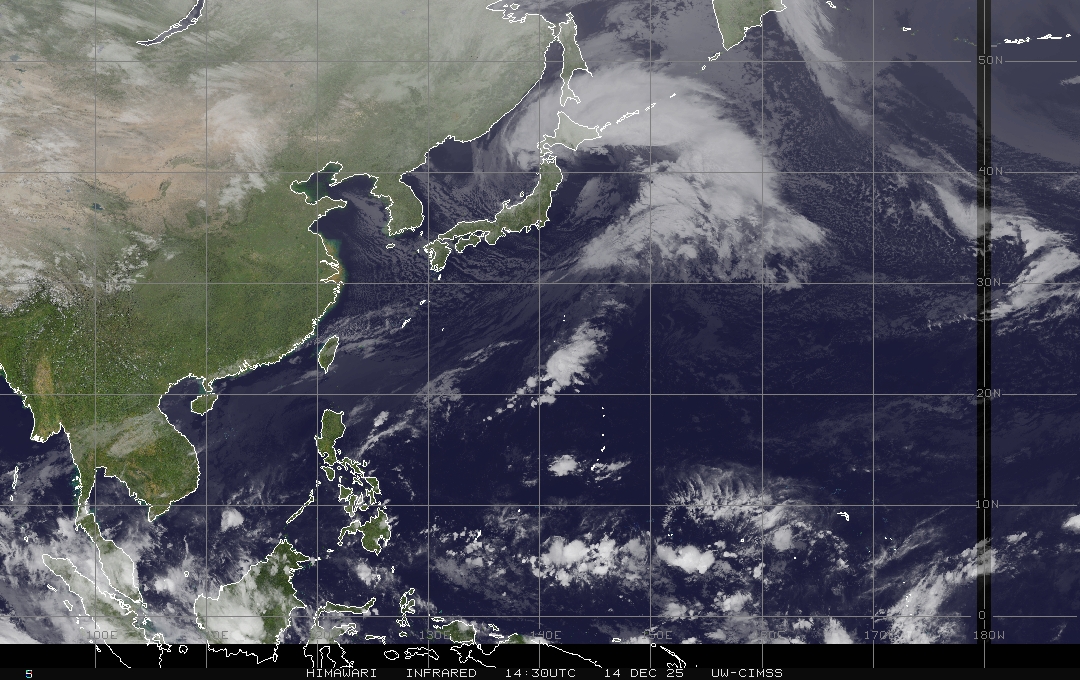
Latest western north pacific MTSAT IR satellite image
No comments:
Post a Comment